Orienteering Map Geyerscher Wald - Nord

19/11/2013: Due to changes with Google Maps currently no outline is shown for maps! Please let me know on jan@kocbach.net if this is an important functionality for you.

Rate this map!

Map nameGeyerscher Wald - Nord
Owner/ClubPost SV Dresden
CountryGermany
Year2012
Scale1:10000
Contours (meters)5
Area (sqkm.)4 km2
Nearest place or cityChemnitz / Geyer
RegionSachsen
Email address for ordering
Owner webpage (url)Link
Accessability (free access or need permission?)need permission
Map typeRegular map
Map makers (fieldwork, drawing, etc.)Michael Schubert / Ludwig Genderjahn
Terrain description
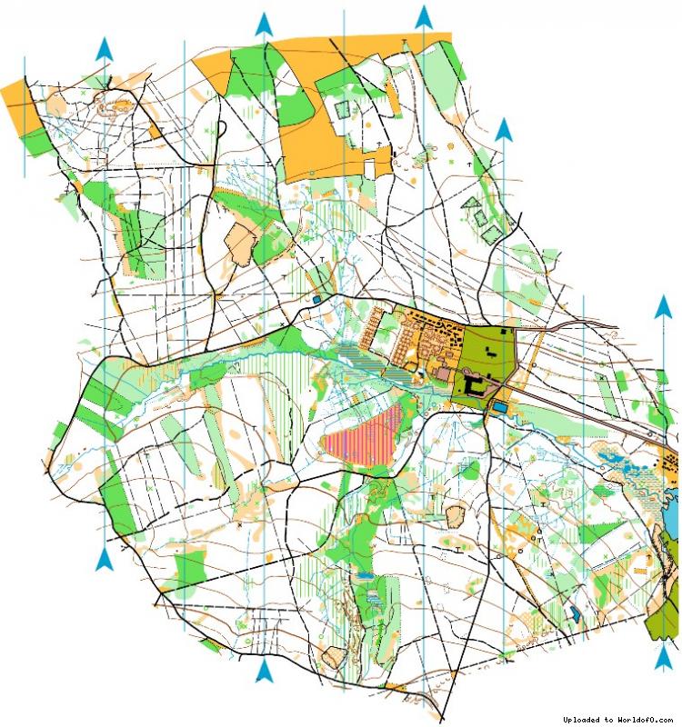
The area is located on a plateau in the Westerzgebirge. The forest is dominated from spruces and beeches and there is mostly a good runability. In some domains there is also undergrowth and thickets. The terrain has been formed from mining activities since the 13th century.
SourceGerman Map Register
(Source ID: GER-SX201202)
Images (click for larger)
Add/change info Click here
Access denied for user 'worldof_news'@'217.170.198.18' (using password: YES)