19/11/2013: Due to changes with Google Maps currently no outline is shown for maps! Please let me know on jan@kocbach.net if this is an important functionality for you.
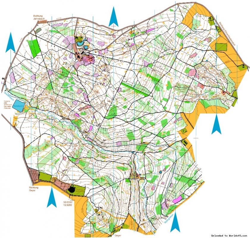
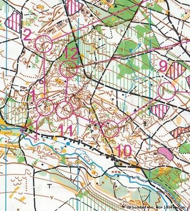
The area is located on a plateau in the Westerzgebirge. The highest point is 731m above sea level - the granite rocks of the Greifensteine.
Some valleys are going down to 550m above sea level. The profile is slowly rising, there are some steep hills. The forest is dominated from spruces and beeches and there is mostly a good runability. In some domains there is also undergrowth and thickets.
The terrain has been formed from mining activities since the 13th century. A variety of detailed areas with trenches, depressions and pits can be found. Water installations for the supply of the mining areas that have been used until today are crossing the terrain.