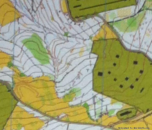
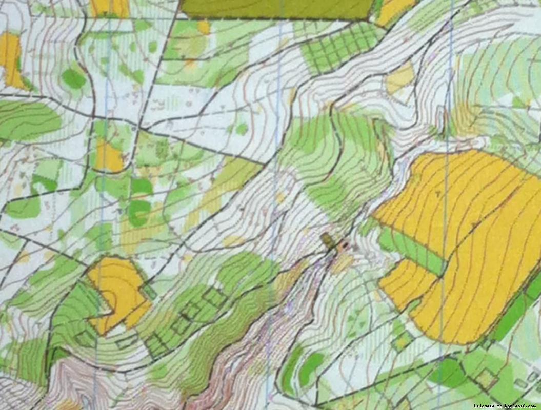
Orienteering Map Truppenübungsplatz Schmidtenhöhe, Lichterkopf, Ruppertsklamm
19/11/2013: Due to changes with Google Maps currently no outline is shown for maps! Please let me know on jan@kocbach.net if this is an important functionality for you.
Rate this map!
Map name Truppenübungsplatz Schmidtenhöhe, Lichterkopf, Ruppertsklamm Owner/Club Uwe Krausbauer Country Germany Year 2010 Scale 1:10000 Contours (meters) 5 Area (sqkm.) 9 km2 Nearest place or city Koblenz Region Rheinland-Pfalz Email address for ordering
no javascript, no e-mail! Map type Regular map Map makers (fieldwork, drawing, etc.) Uwe Krausbauer Source German map register(Source ID: GER-MR201001) Images (click for larger) Add/change info Click here
Access denied for user 'worldof_news'@'217.170.198.18' (using password: YES)