19/11/2013: Due to changes with Google Maps currently no outline is shown for maps! Please let me know on jan@kocbach.net if this is an important functionality for you.
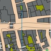
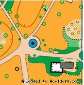
The Old Town Speyer is a phantastic area for Sprint orienteering. It has never been used before and is intended for an international Sprint competition in one of the future Early Spring Cups. The area mainly consists of historical buildings and labyrinths of narrow lanes contrasted by a public garden surrounding the Romanesque Cathedral. Two map samples are shown below, while the entire map including the most interesting parts and its exact outline will not be provided prior to the event. Many tourist attractions serve as control sites, with route choices challenging the runners in between. The best orienteers will be invited to navigate in only 15 minutes through the Old Town's rich cultural heritage of two millenia.